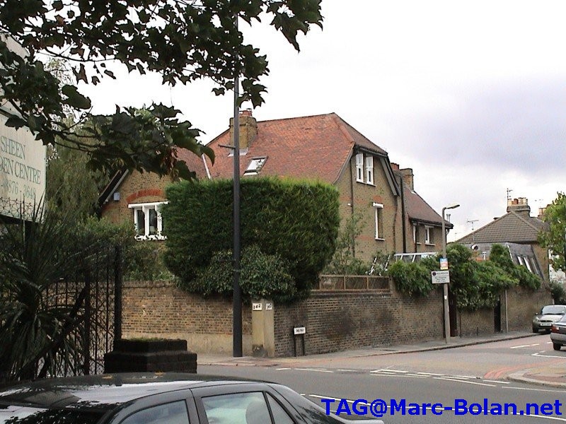
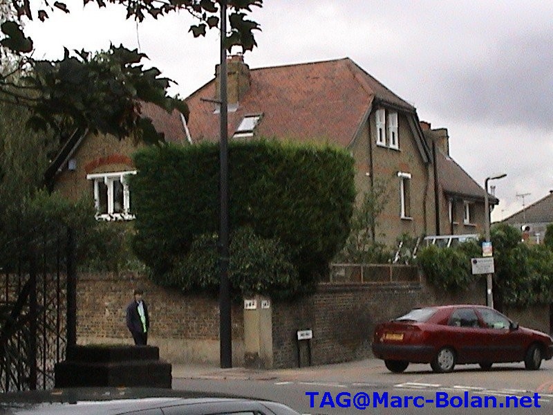
142 Upper Richmond Road West, SW14 8DS
Marc's last house is a large Victorian house on a corner plot surrounded by a high brick wall.
Marc's last house is 0.9 miles from The Tree. If you walk it takes around 15 - 20 minutes. You can also use the London Transport Journey Planner to search for buses, however this doesn't make the journey time much less, even if it does cut down on walking.
Use: From: Gipsy Lane (x) Queens Ride (west) and To: South Circular Road/Upper Richmond (x) Kings Road
9 Inglis House, Whitnell Way, Off Chartfield Avenue, Putney, SW15 6BT
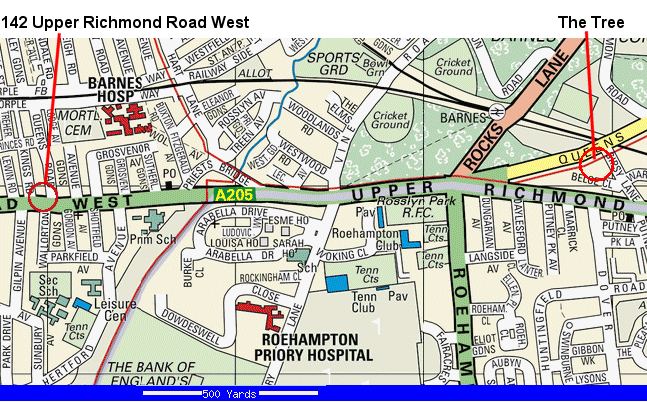
![]() Multimap Map with Marc's Parents home ringed in Red. Zoom in or out & print any or all versions you want.
Multimap Map with Marc's Parents home ringed in Red. Zoom in or out & print any or all versions you want.